±7.41 Acres · Residential Development Land near Gotha
Orange County, FL
Stand inside the property: every aerial panorama and 360° sphere, every photo location and the parcel boundary on one interactive map, in the browser, with nothing to install. It opens in a new tab — both pages are media-heavy, so Vantage is linked rather than embedded here.
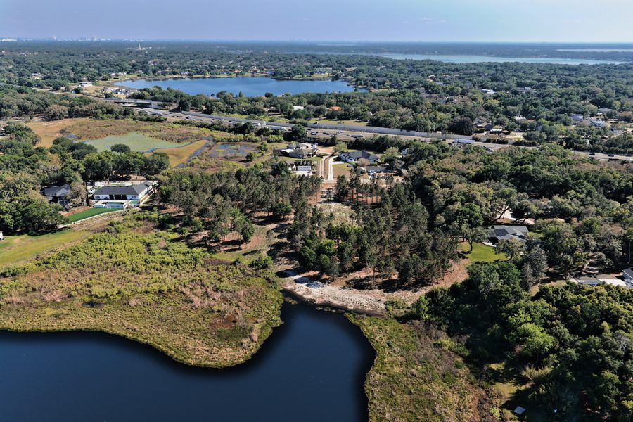
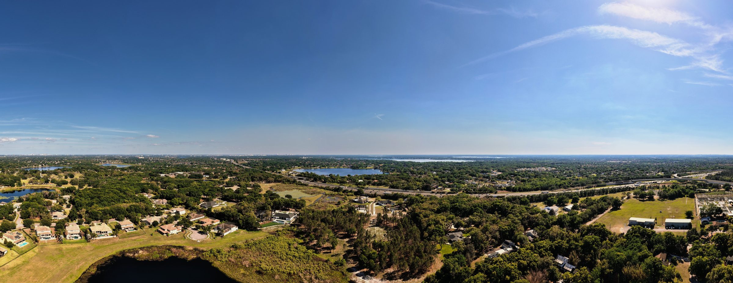
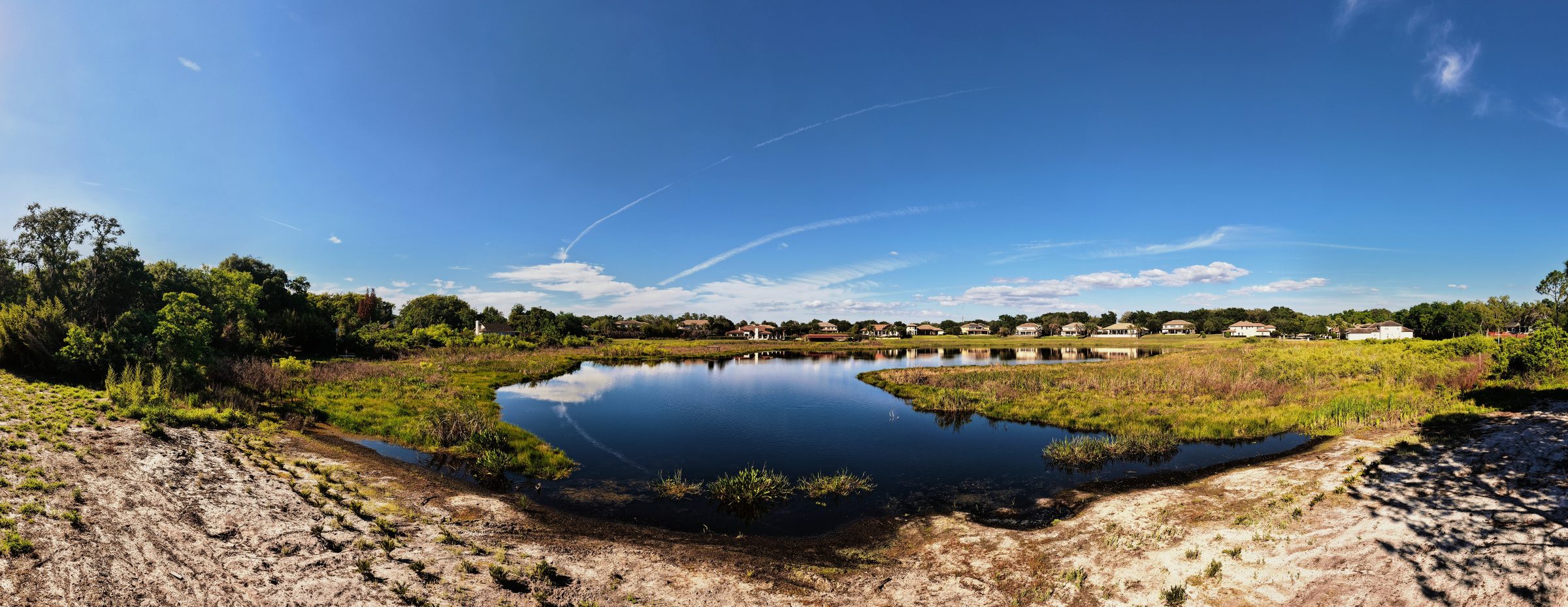
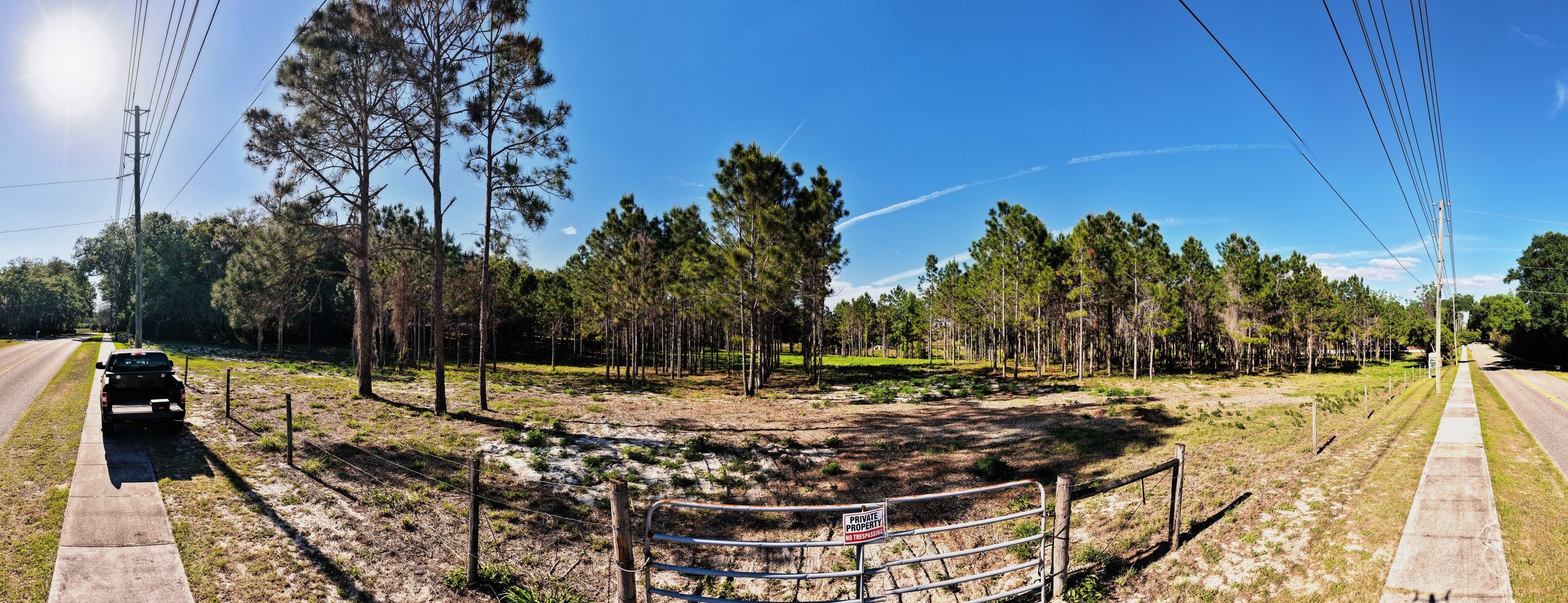
3 aerial panoramas and 3 360° spheres in this property's Vantage tour.
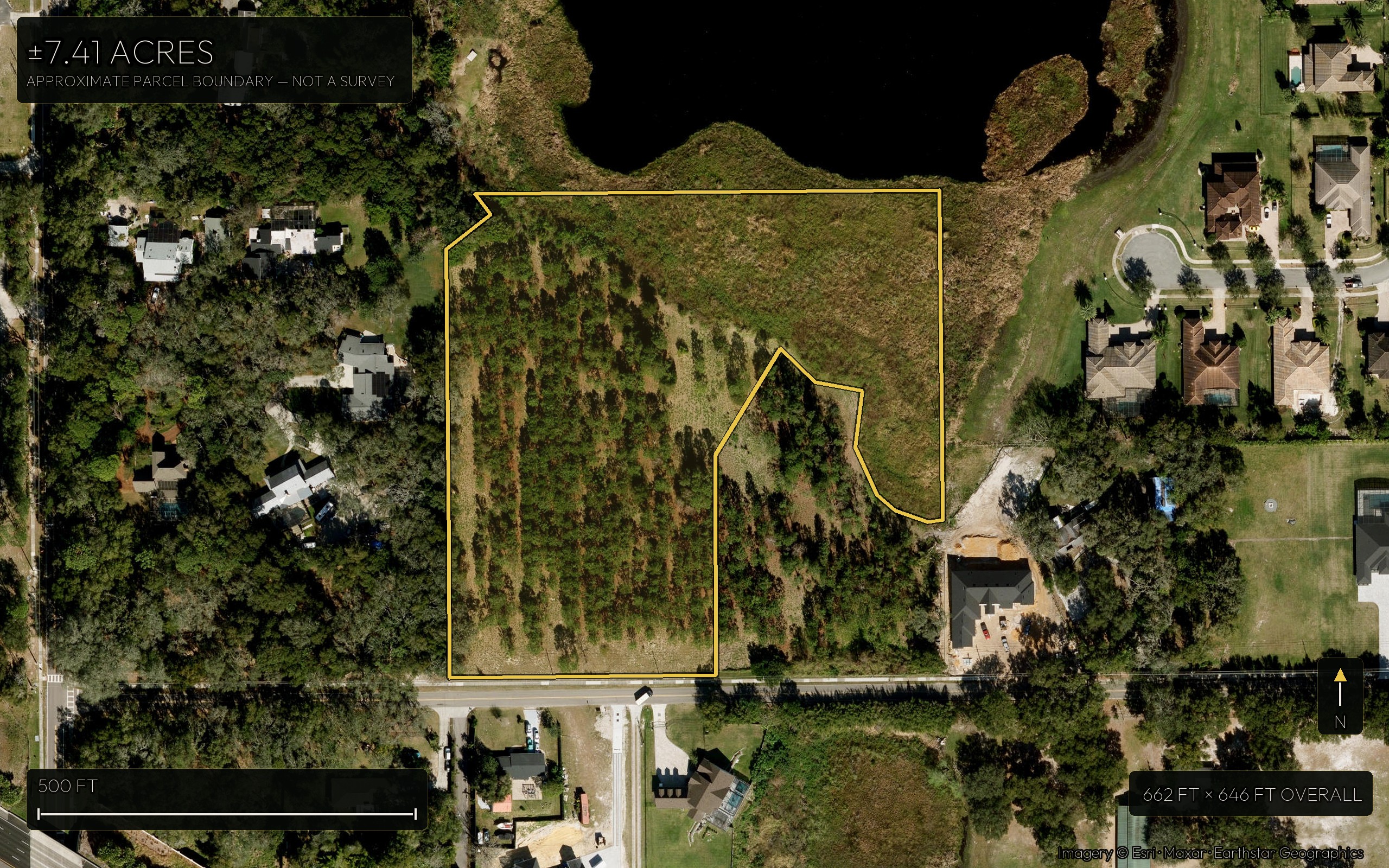
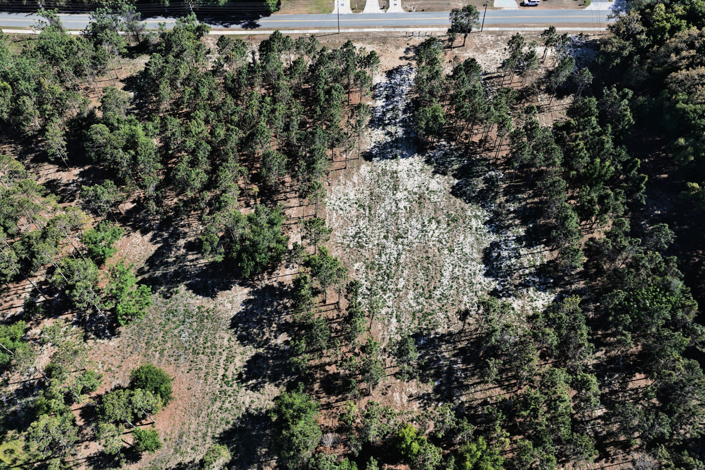
The whole parcel from above, with the boundary drawn on it, its scale and overall extent. Approximate — not a survey. The boundary drawn is the ±7.41-acre parcel as listed, not the 9.65-acre outline of the whole tax parcel on the statewide cadastral record. Press Explore map to open it full-screen and pan, zoom and turn roads on — online. Offline it opens this same image.
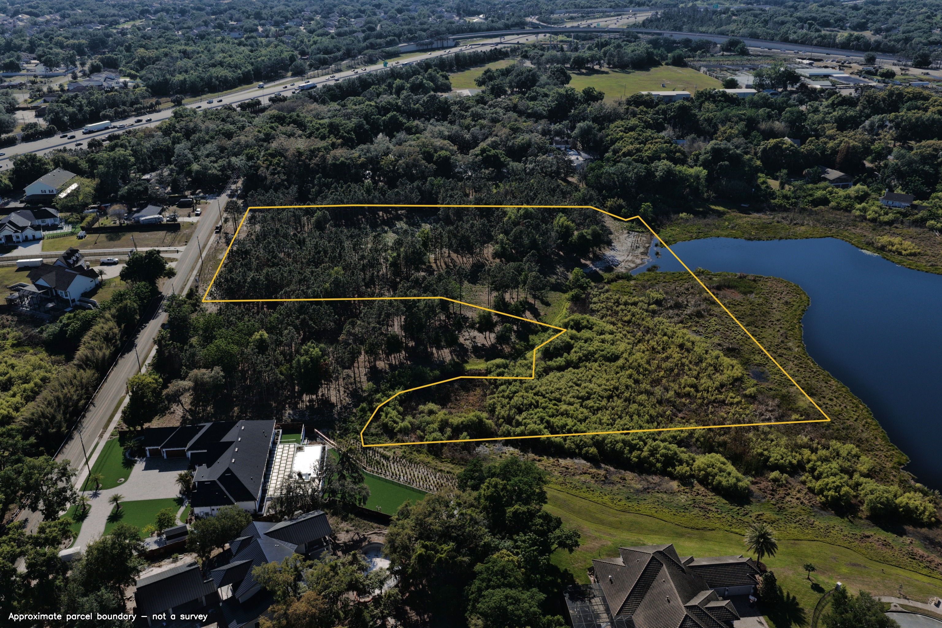
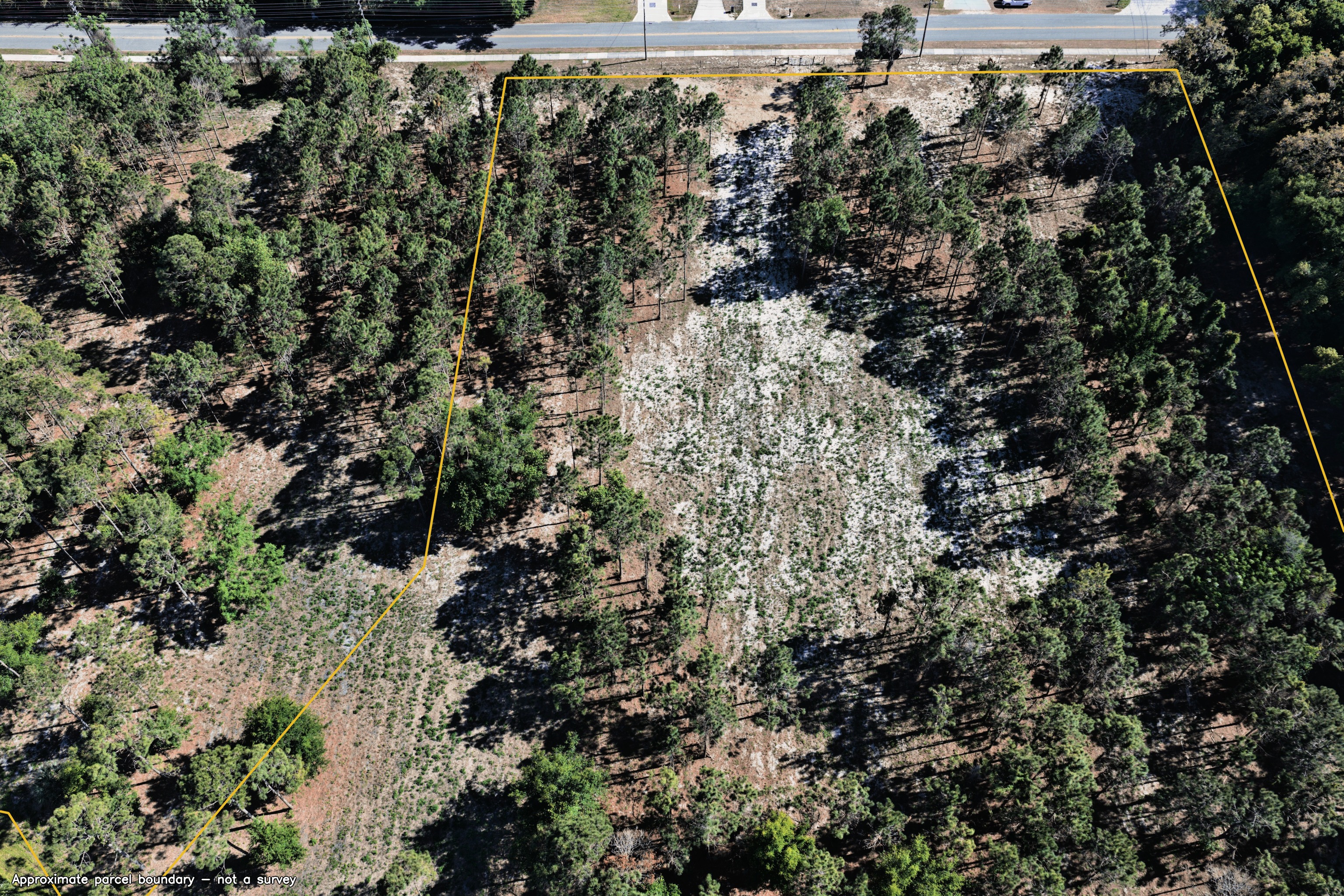
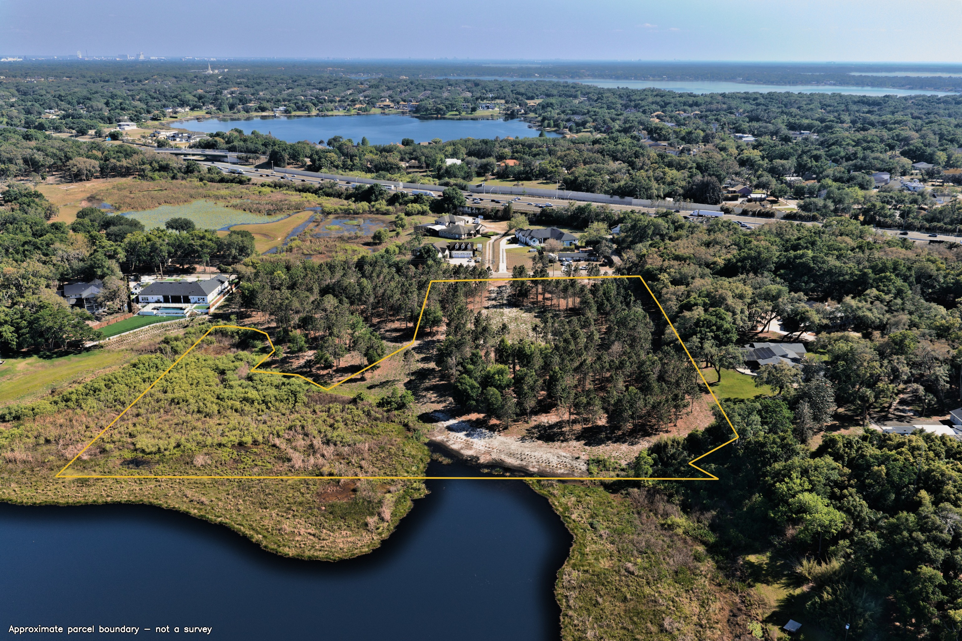
Boundary drawn over the delivered aerials — click any to view full-screen. Approximate — not a survey. 1 of 3 holds the whole parcel; the rest are partial views — the map above holds all of it.
70 approved photographs. 3 aerial panoramas lead the set. Click any frame for full size.
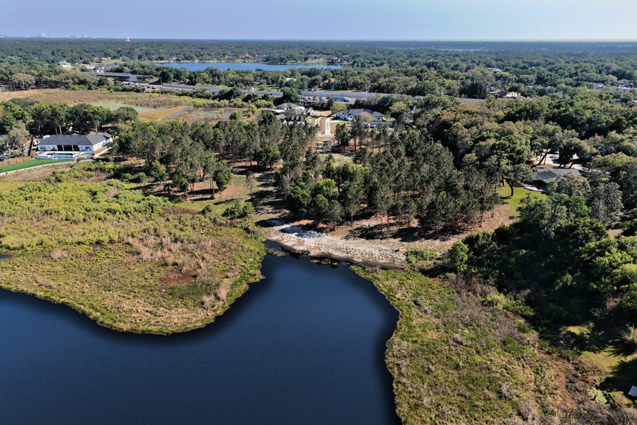
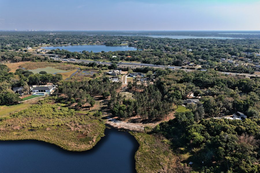
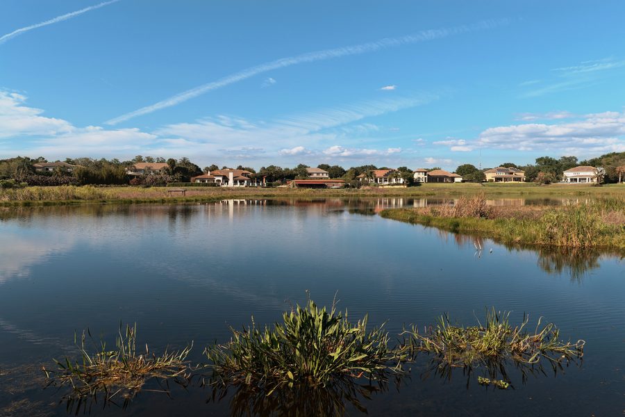
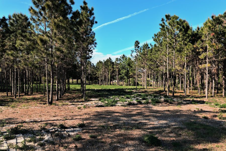
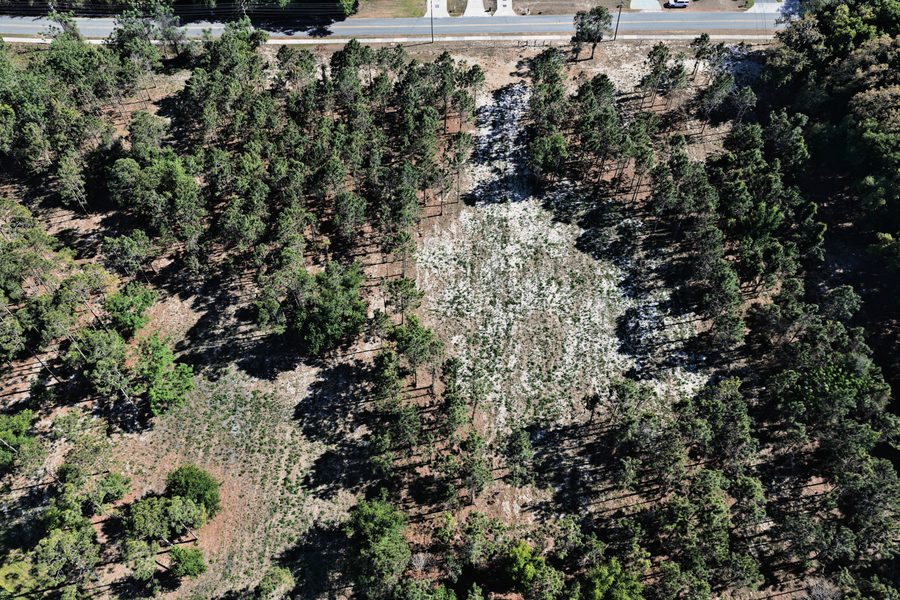
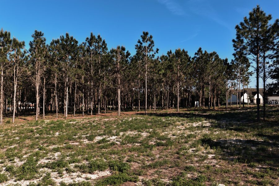
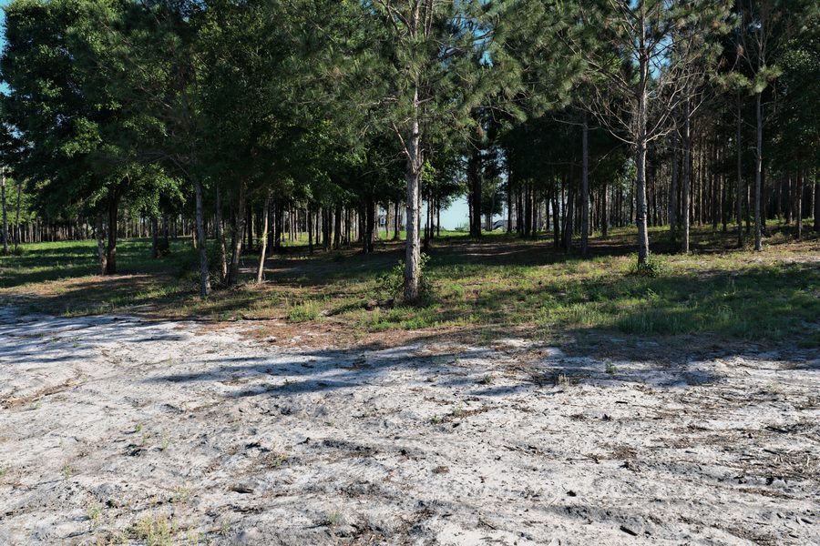
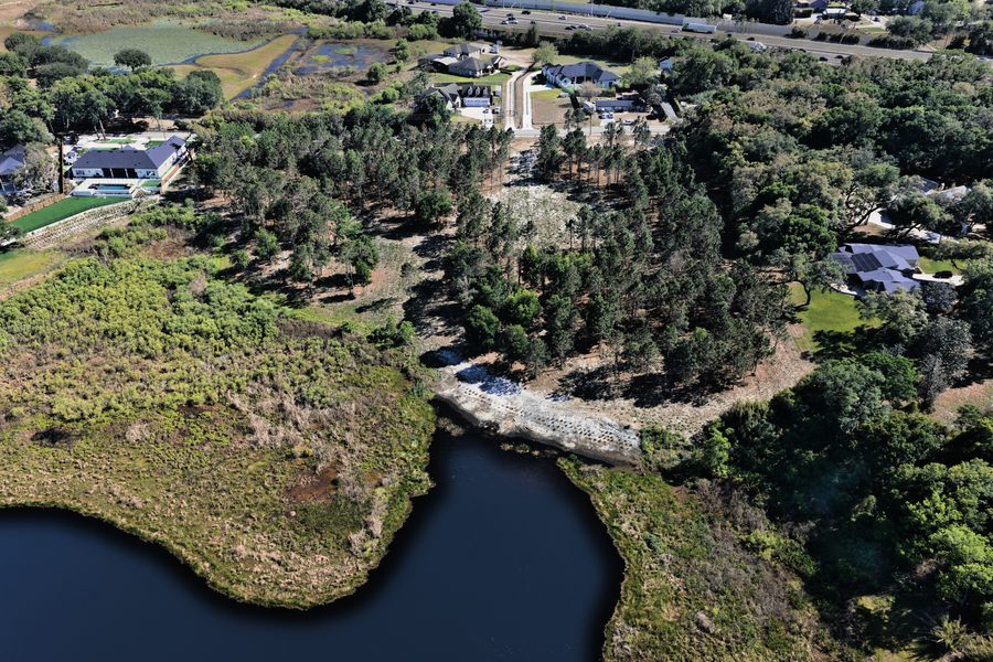
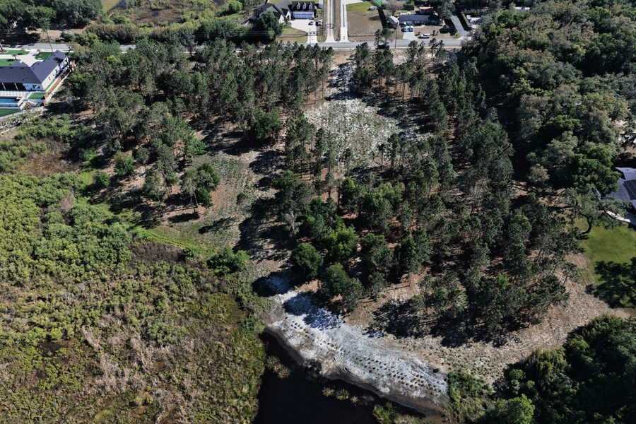
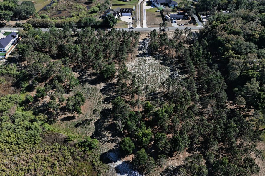
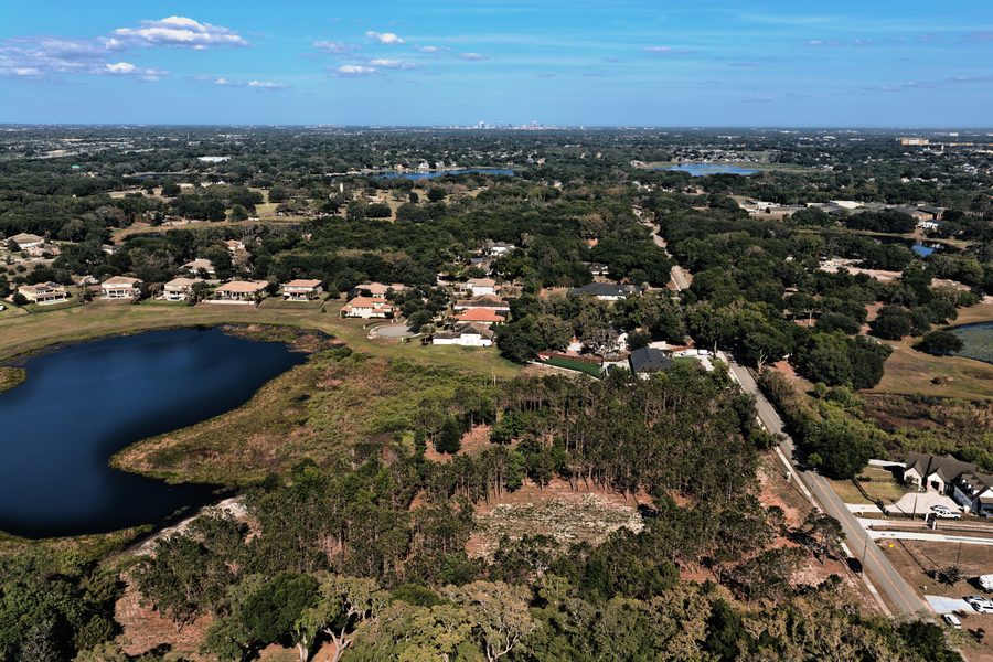
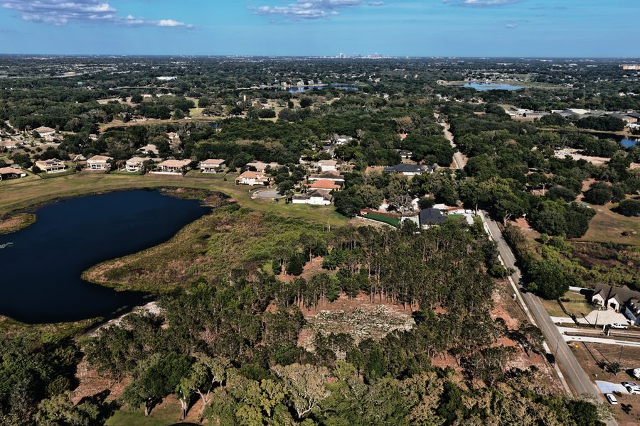
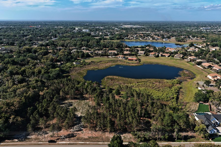
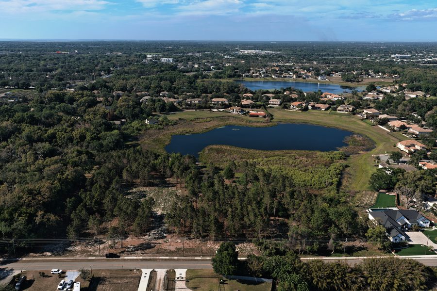
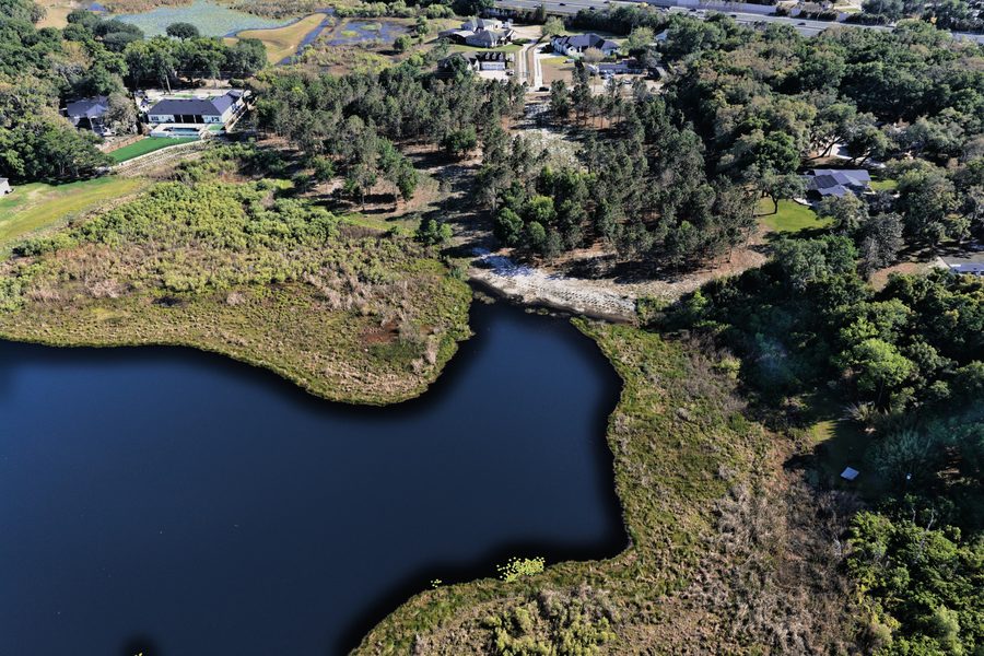
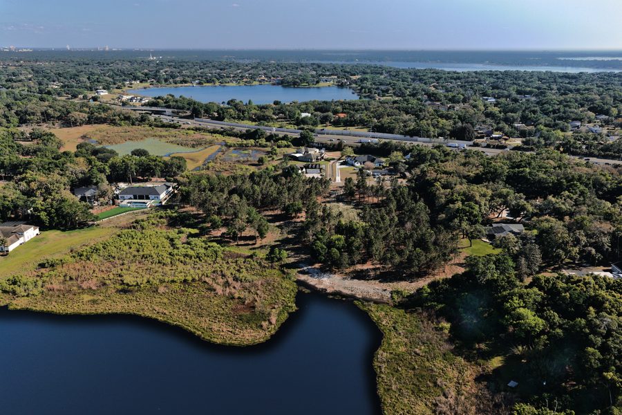
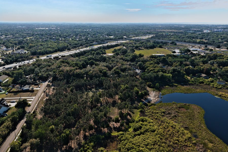
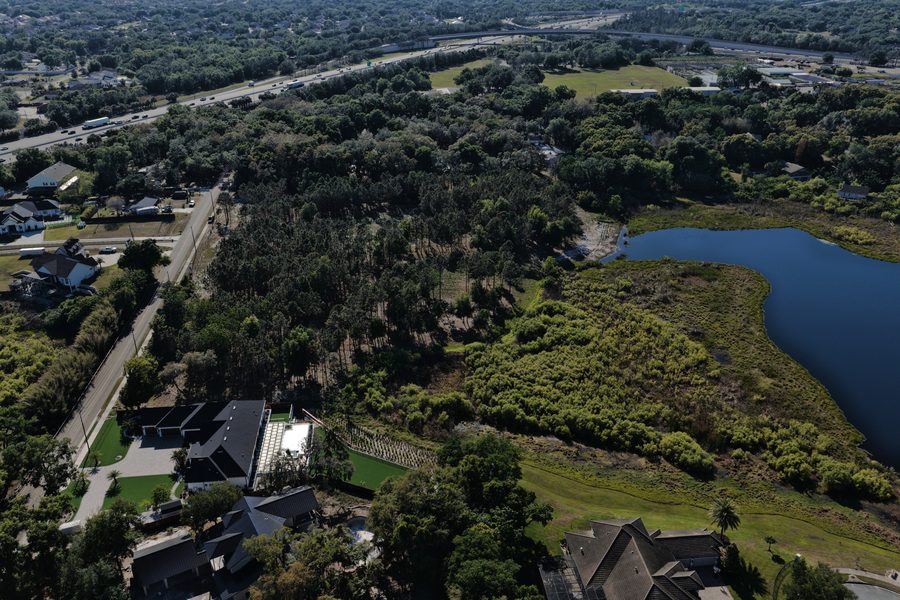
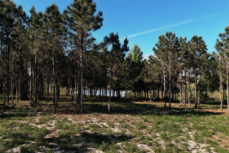
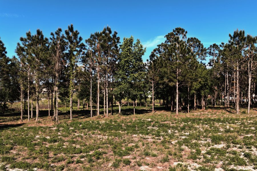
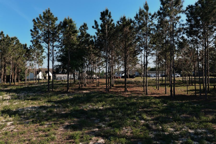
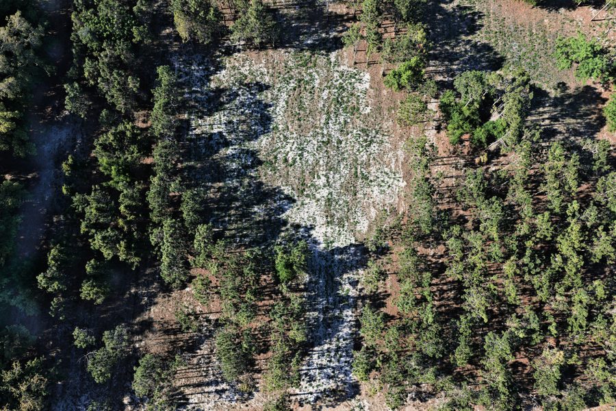
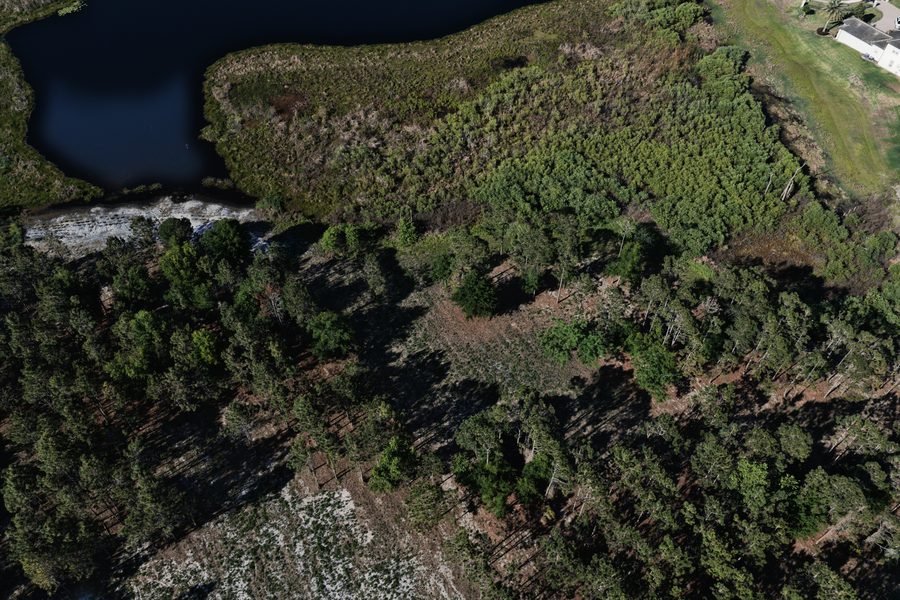
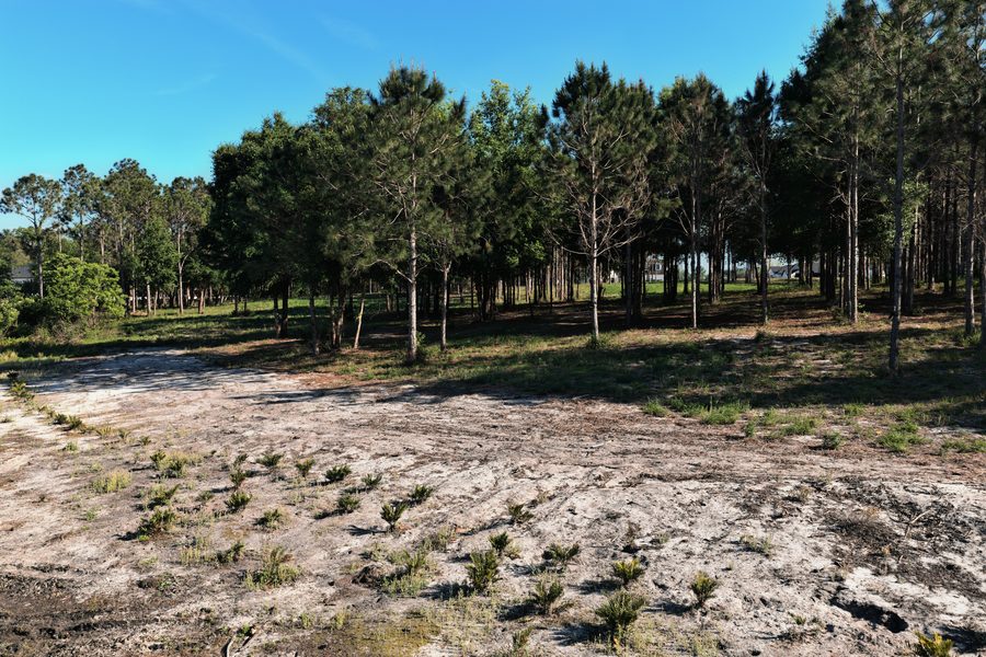
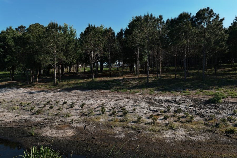
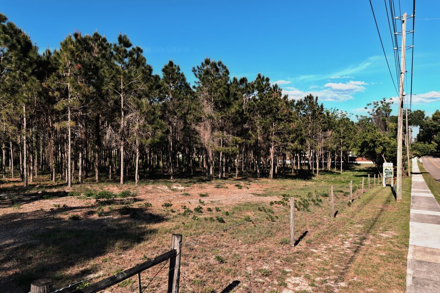
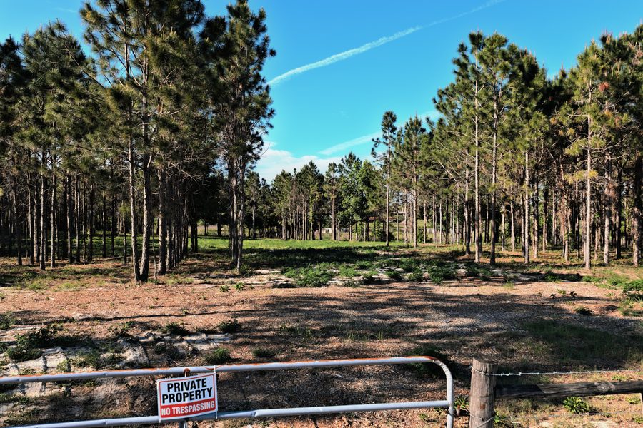
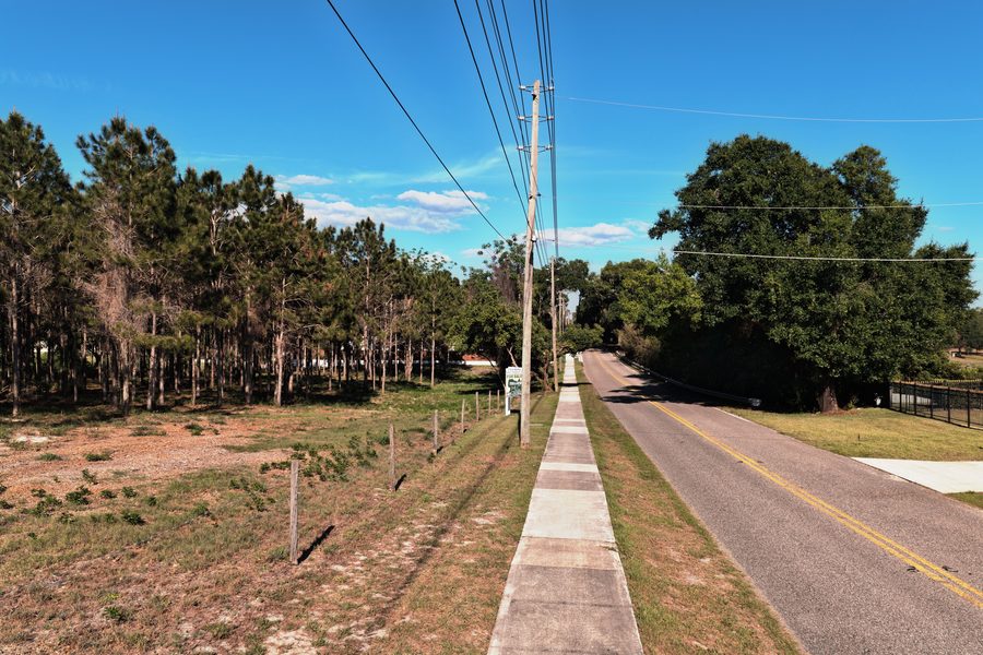
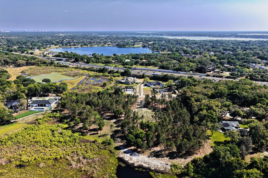
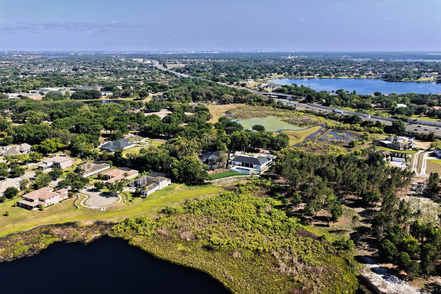
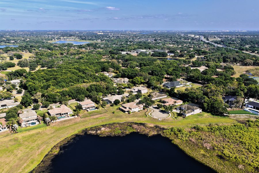
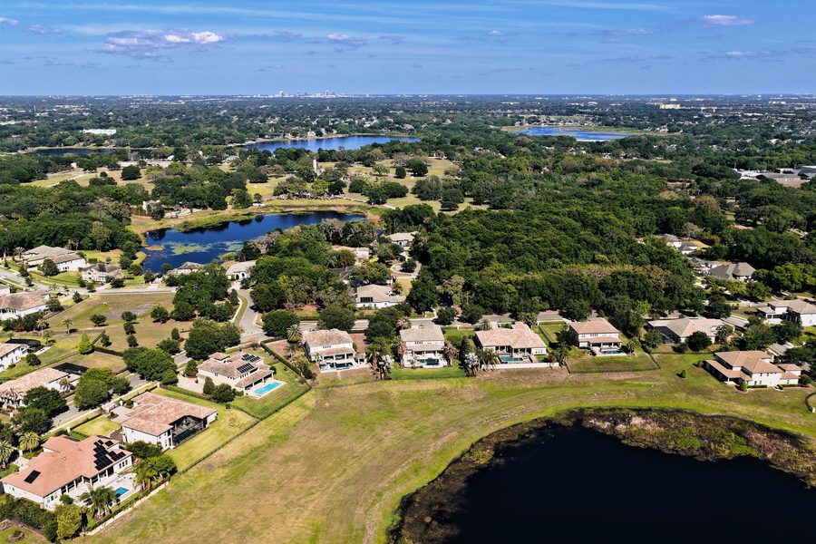
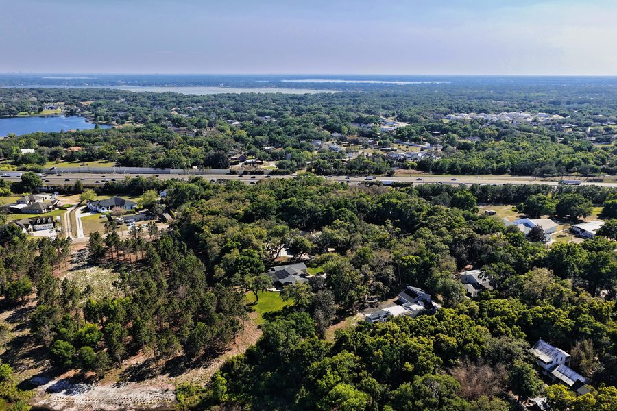
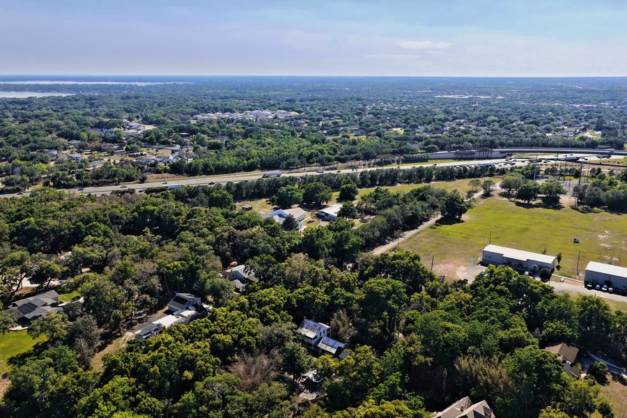
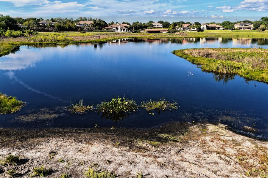
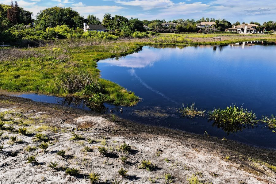
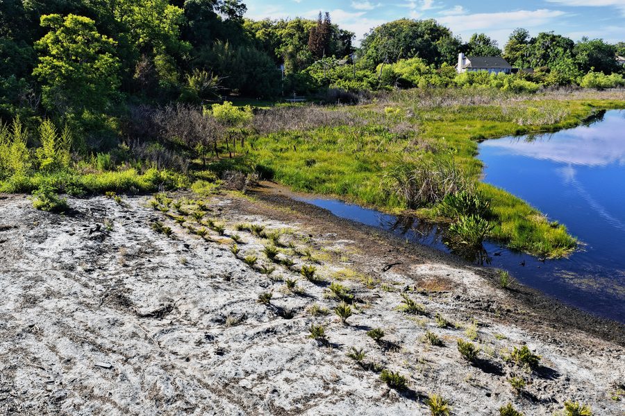
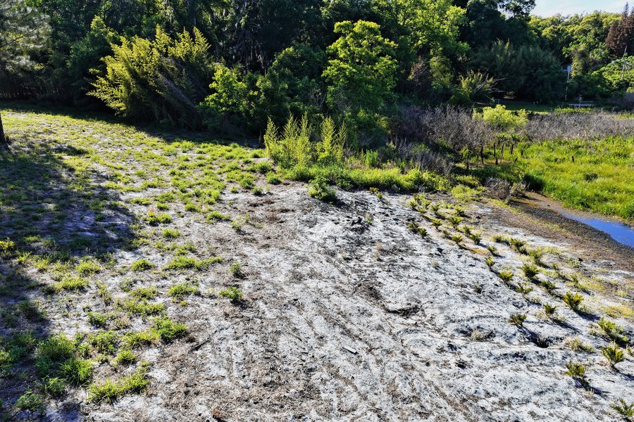
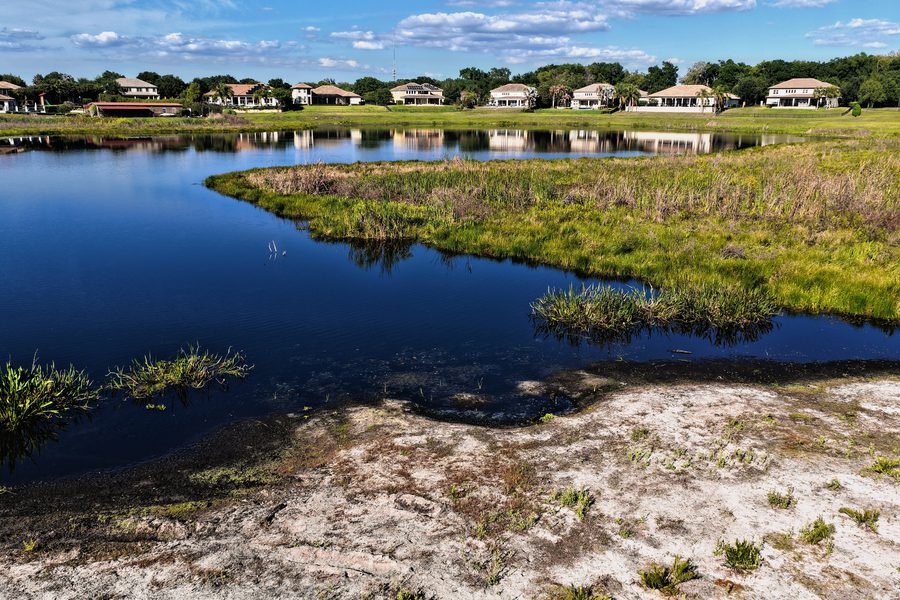
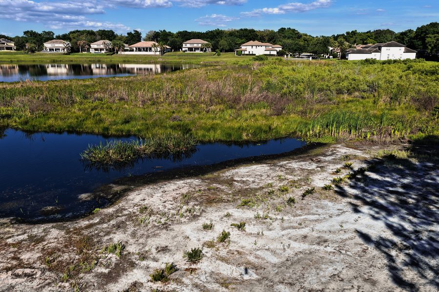
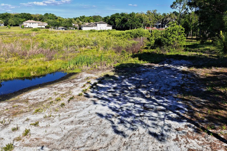
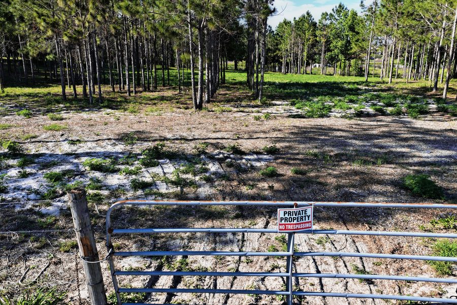
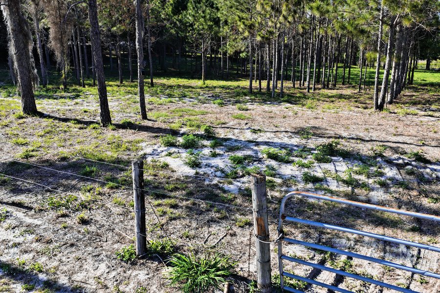
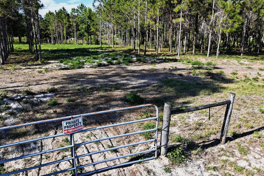
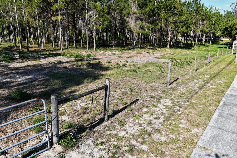
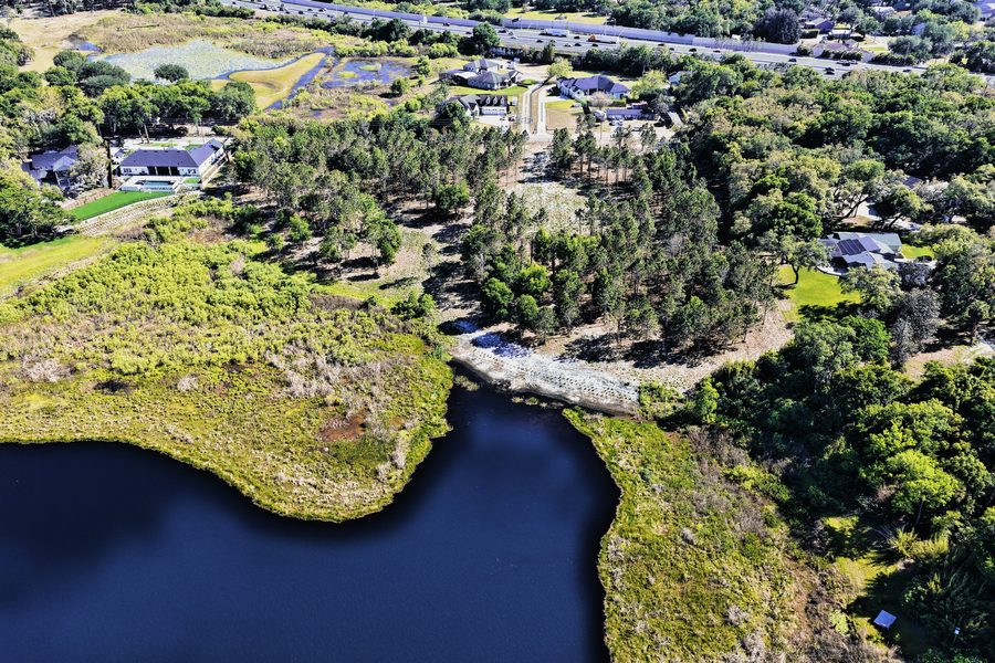

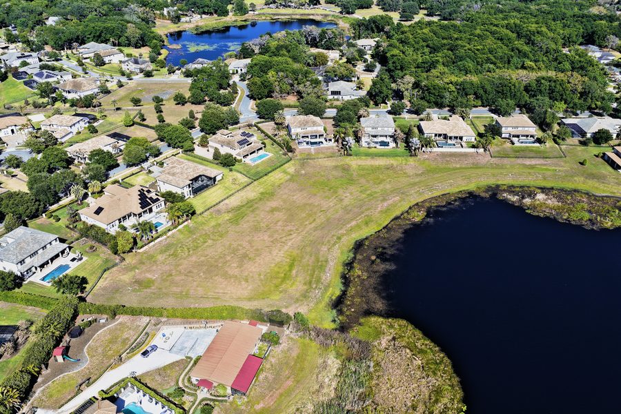
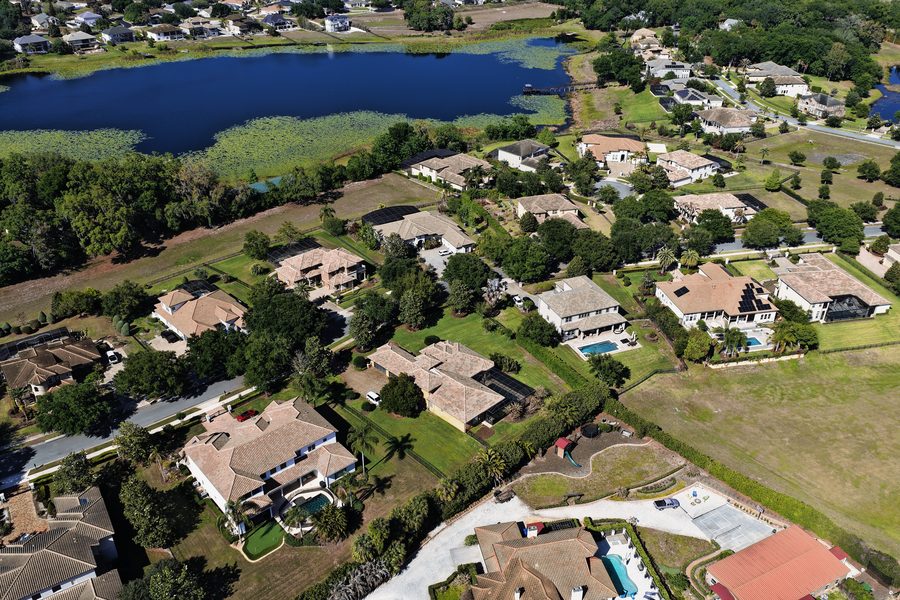
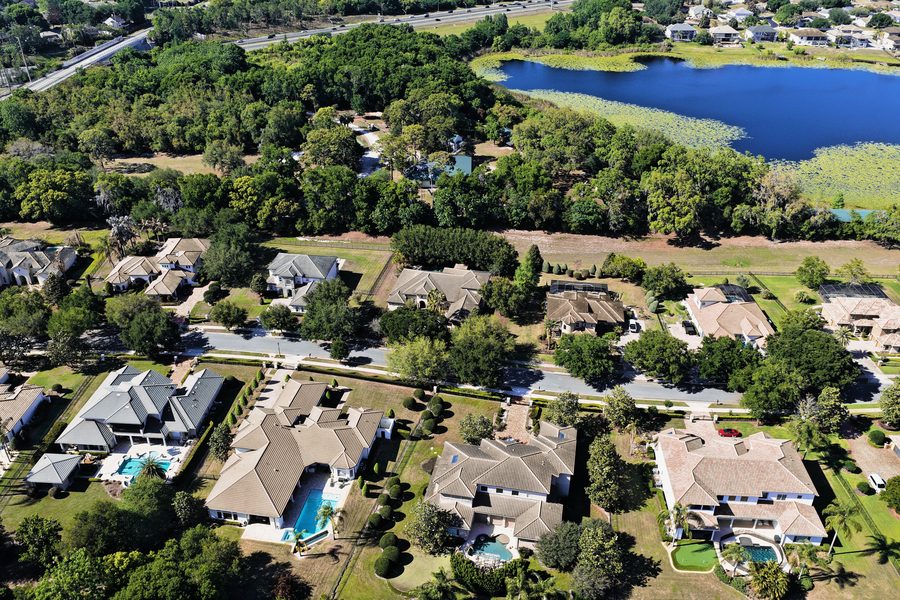
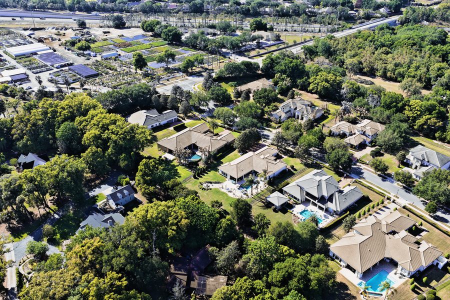
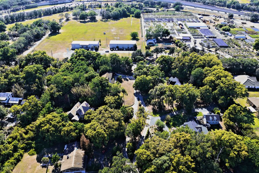
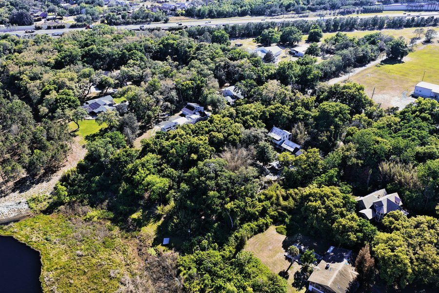
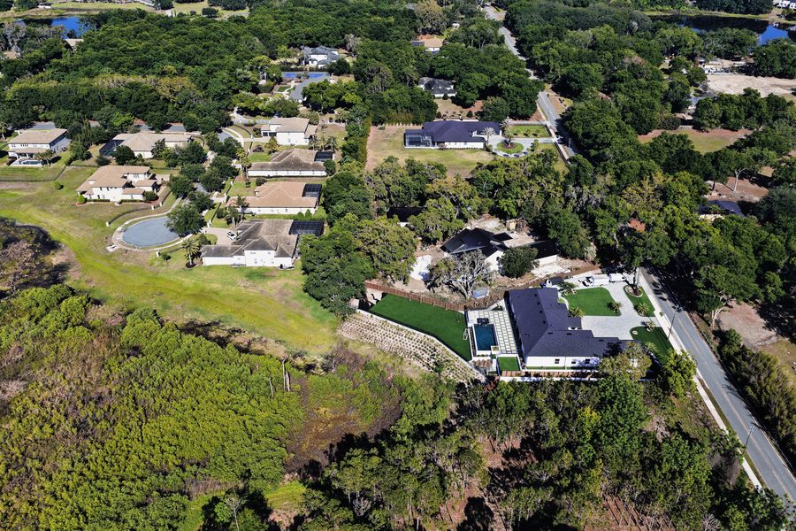
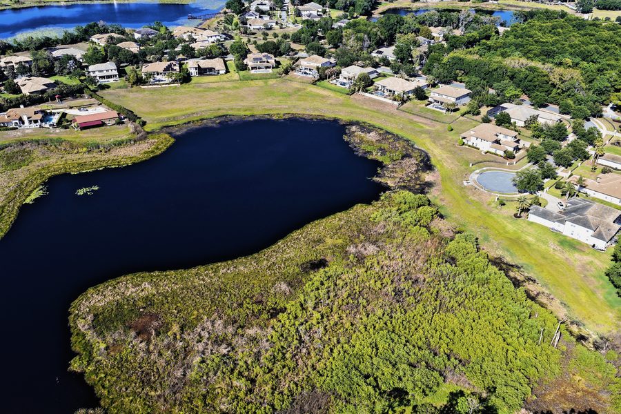
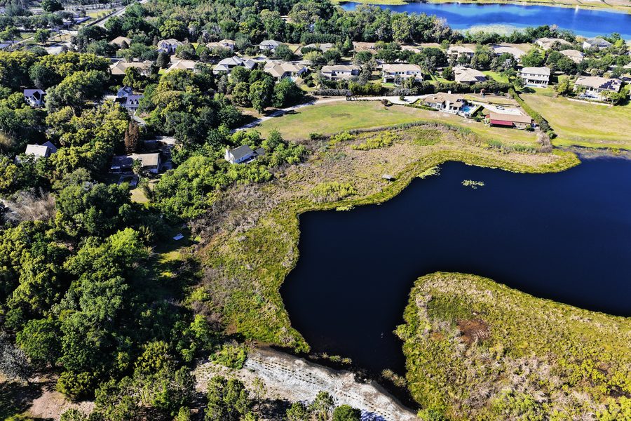
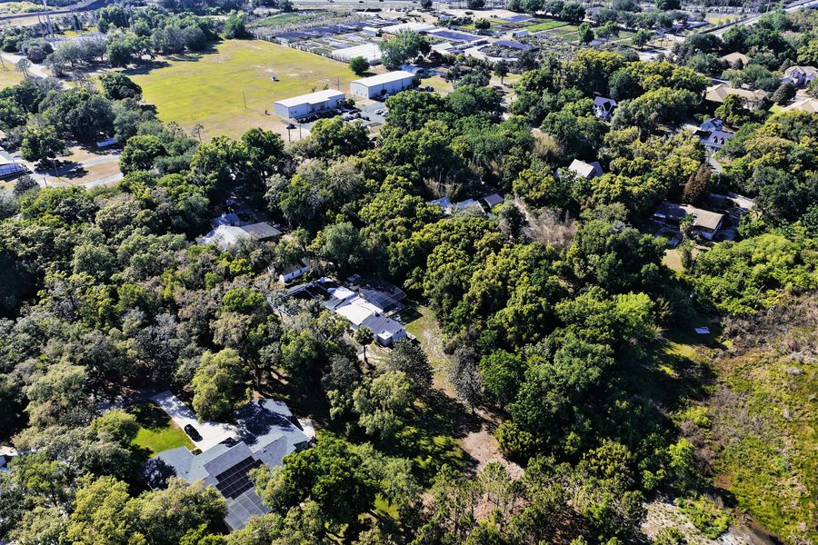
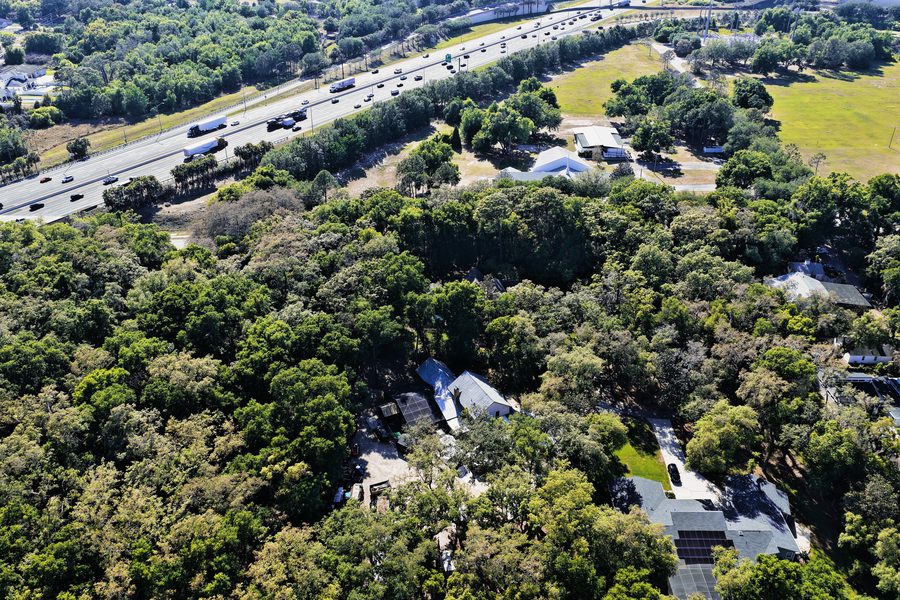
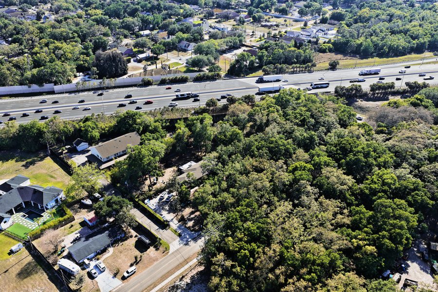
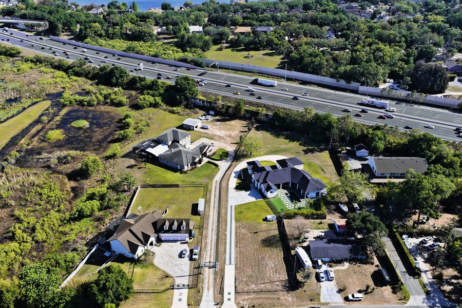
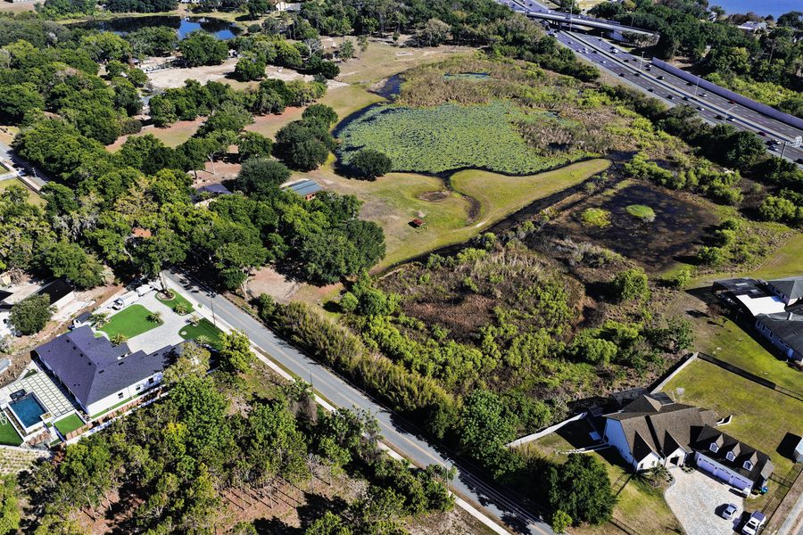
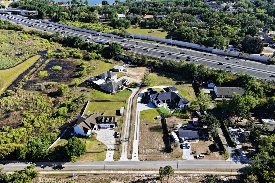
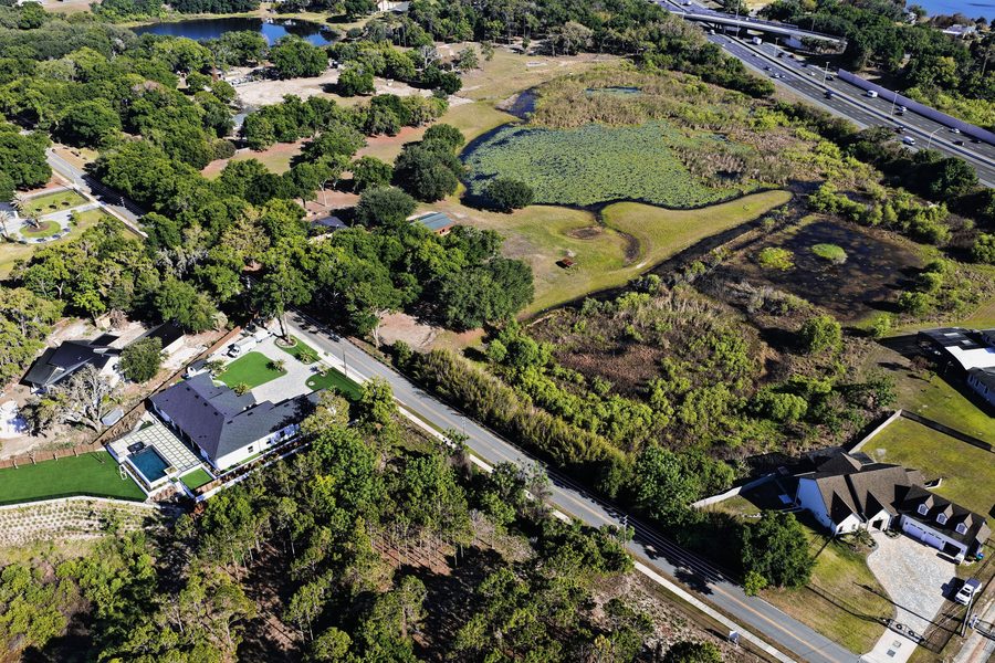
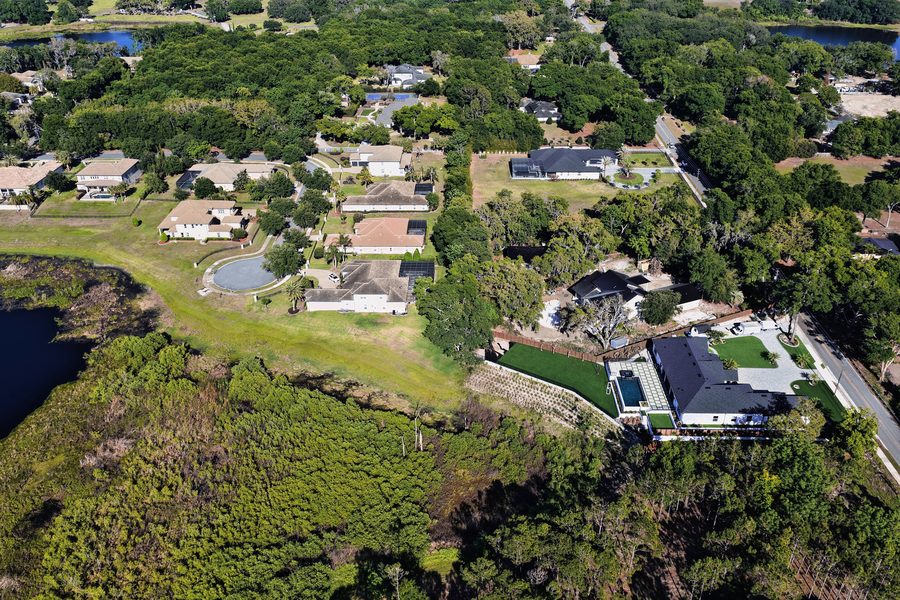
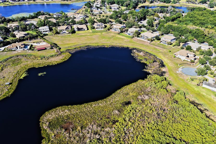
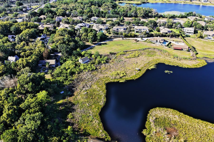
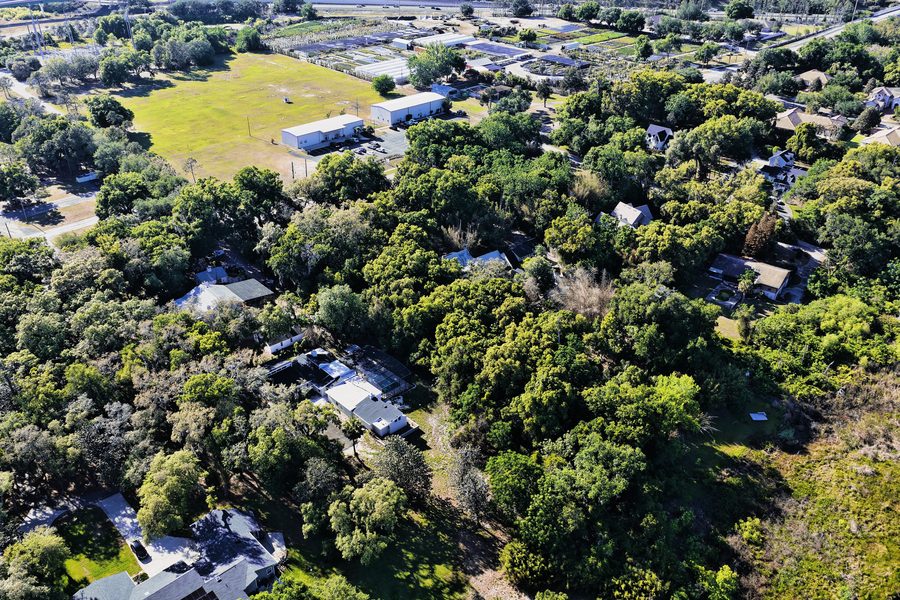
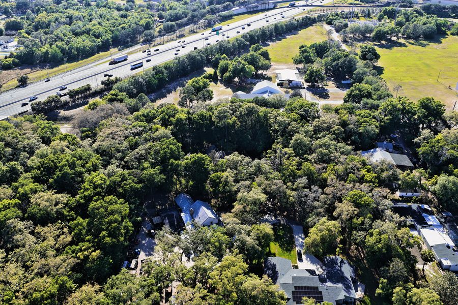
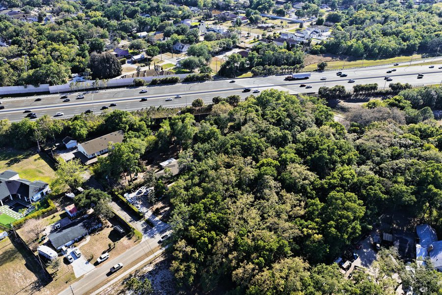
This ±7.41-acre parcel of residential development land is situated in Orange County, near Gotha, and is zoned A-1 with a future land use designation of RS 1du/ac. The land has direct water frontage and an elevation of 99 ft. The county tax-roll use class is Vacant Residential.
The land is located near Windermere, about a 9-minute drive away, and is also about 18 minutes from Orlando Regional Medical Center, 19 minutes from Downtown Orlando, 25 minutes from Horizon West, 28 minutes from Orlando International Airport, 29 minutes from Lake Nona Medical City, and 29 minutes from Walt Disney World. The University of Central Florida is about 35 minutes away.
Every photograph, the film, the 360° tour and the parcel mapping on this page were produced by AcreView Imaging for Gotha. For the property itself, contact the listing brokerage. To have a property covered like this, talk to us — full-resolution print delivery is available on request.